US Vacation Report 2014
This April I had a vacation in the USA, so here’s a write up and a bunch of photos. Our trip: 12 days, group of five (myself, my wife, our two kids and my sister), rented a car and drove around. Made the itinerary ourselves; tried to stay out of big cities or hotel chains – used airbnb where possible. For everyone except me, this was the first trip to USA; I actually never did venture outside of conference cities before either.
TL;DR: Grand Canyon and Death Valley are awesome.
Summary of what we wanted:
- See nature. Grand Canyon, Death Valley, Yosemite, Highway 1 etc. were on the potential list. Decided to skip Yosemite this time.
- No serious hiking; that’s hard to do with kids and we’re lazy :)
Asking friends, reading the internets (wikitravel, wikipedia, lonely planet, random blogs), came up with a list of “places I’d like to go”. Thanks for everyone on Facebook for telling that my initial plan was way too ambitious. This is what we ended up at:
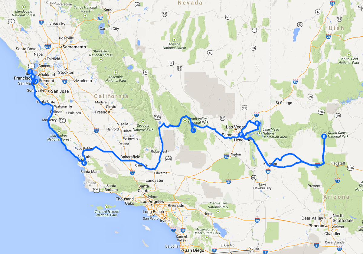
Flew to Vegas, a couple of round trips from there (to Valley of Fire and Grand Canyon), and then off towards the ocean. Through Death Valley, and then up north to San Francisco. Fly back from there. In total ended up close to 3000 kilometers; a pretty good balance between “want to see lots of stuff” and “gotta always be driving”.
Almost all photos below are my wife’s. Equipment: Canon EOS 70D with Canon 24-70mm f/2.8 L II and Sigma 8-16mm f/4.5-5.6. A couple photos by me, taken with iPhone 4S :)
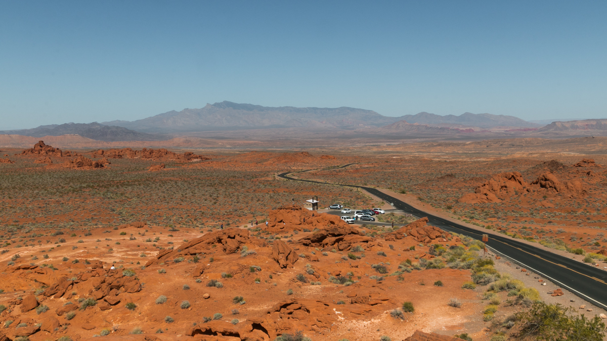
Day 1: Valley of Fire
Close to Vegas, there’s this amazing formation of red sandstone. It’s fairly big, so that took the whole day. A good short trip for a jetlagged day :)
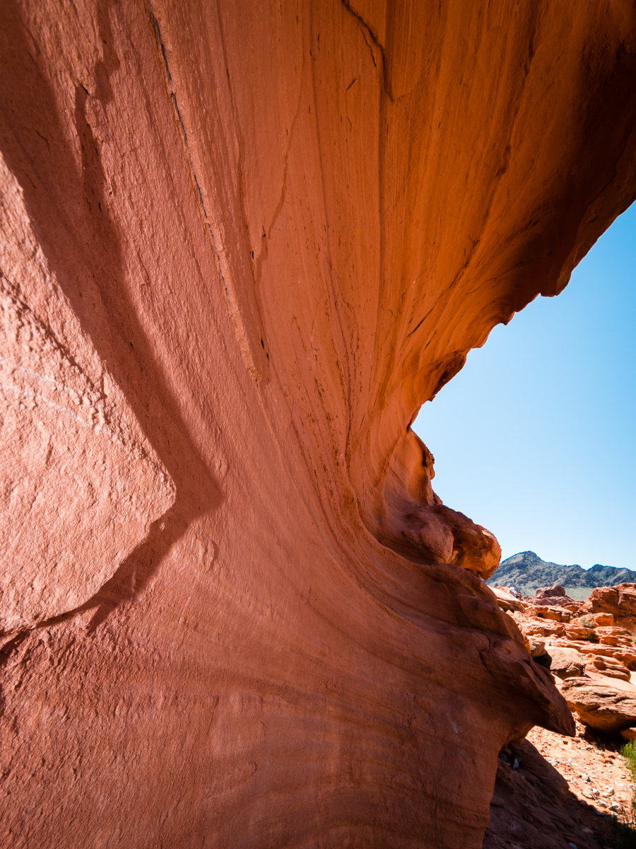

This is Elephant Rock, if you squint enough:

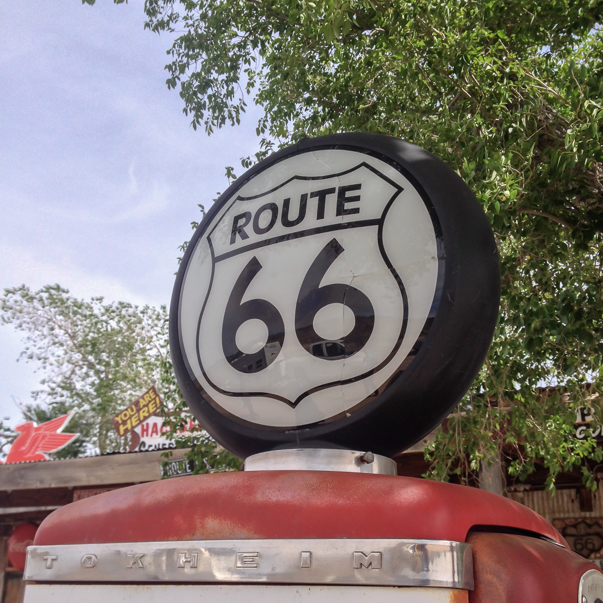
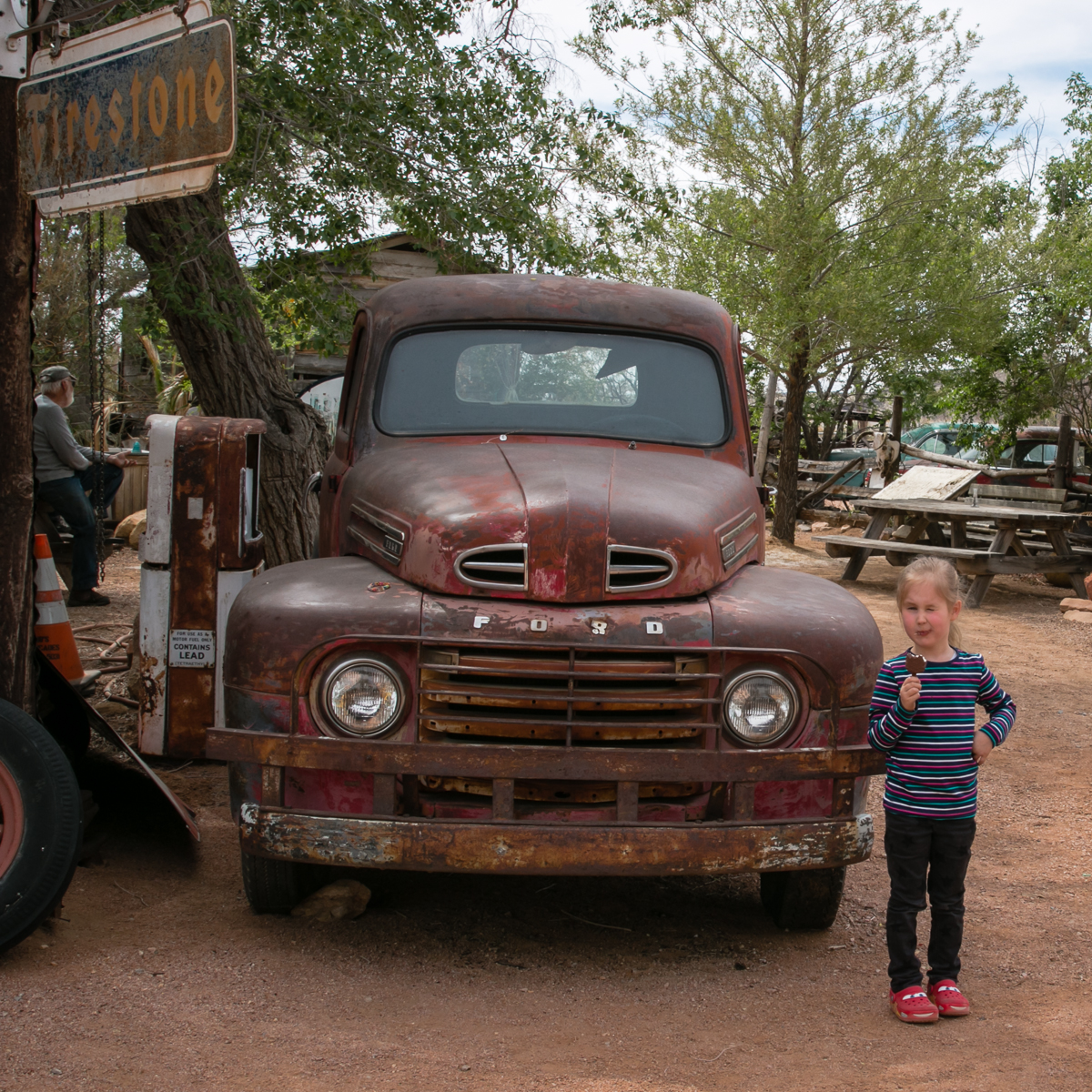
Day 2: Vegas to Grand Canyon via Route 66
Stela (my 4yo daughter) is a huge fan of Pixar’s Cars, so a short detour though actual Route 66, and the Hackberry General Store was a joy for her.
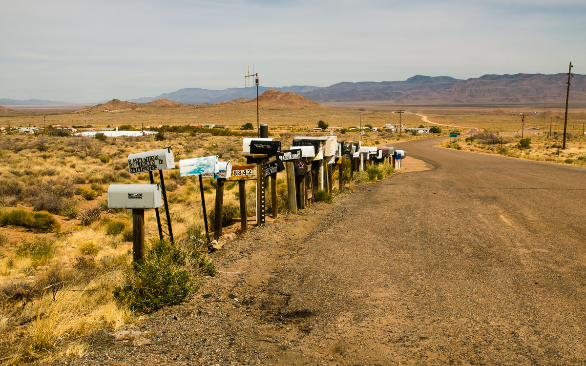
Yellow Arizona landscapes:
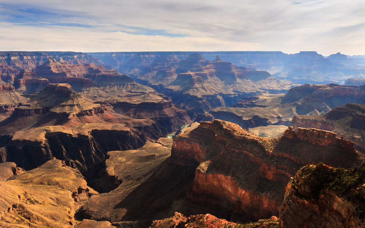
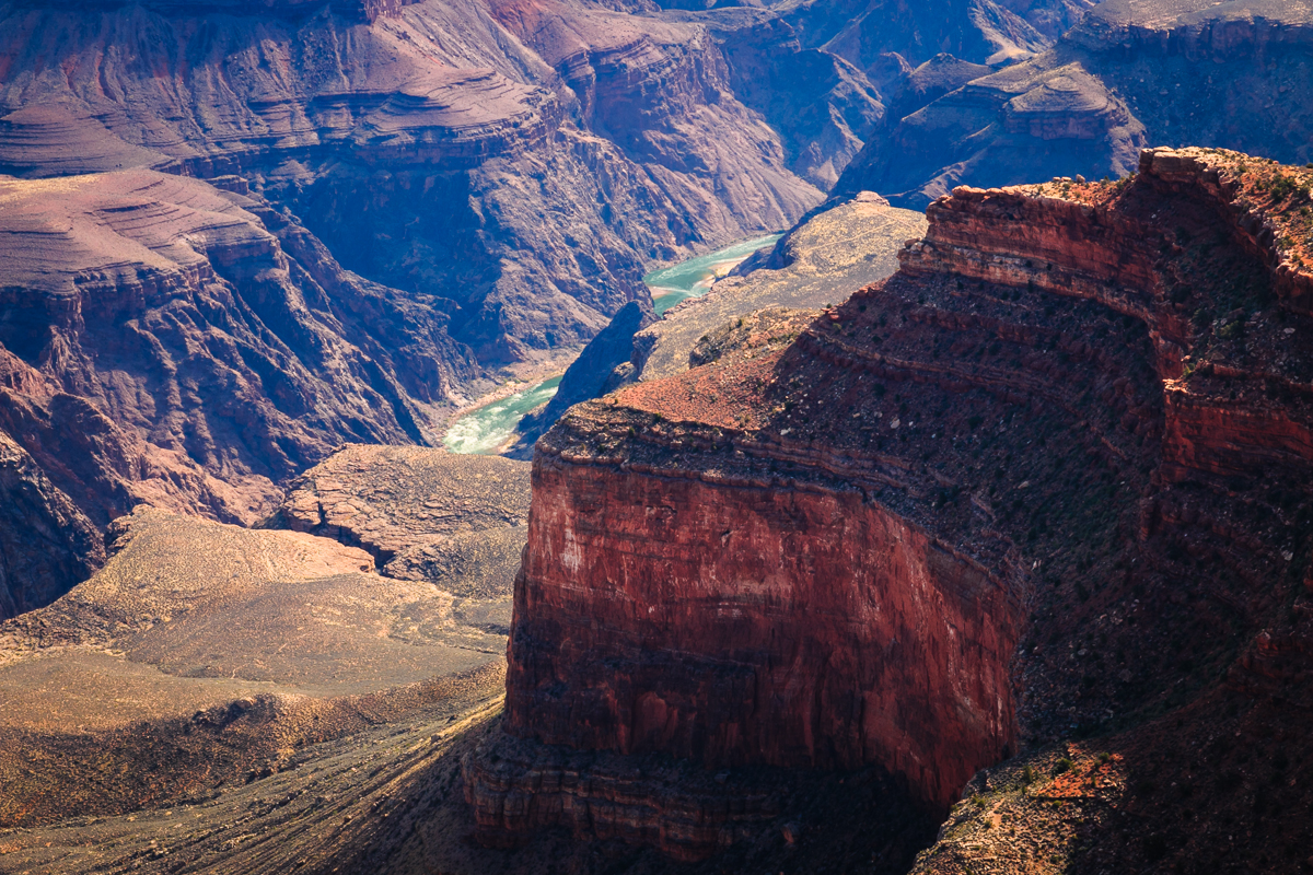
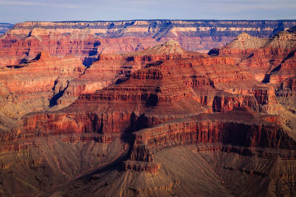
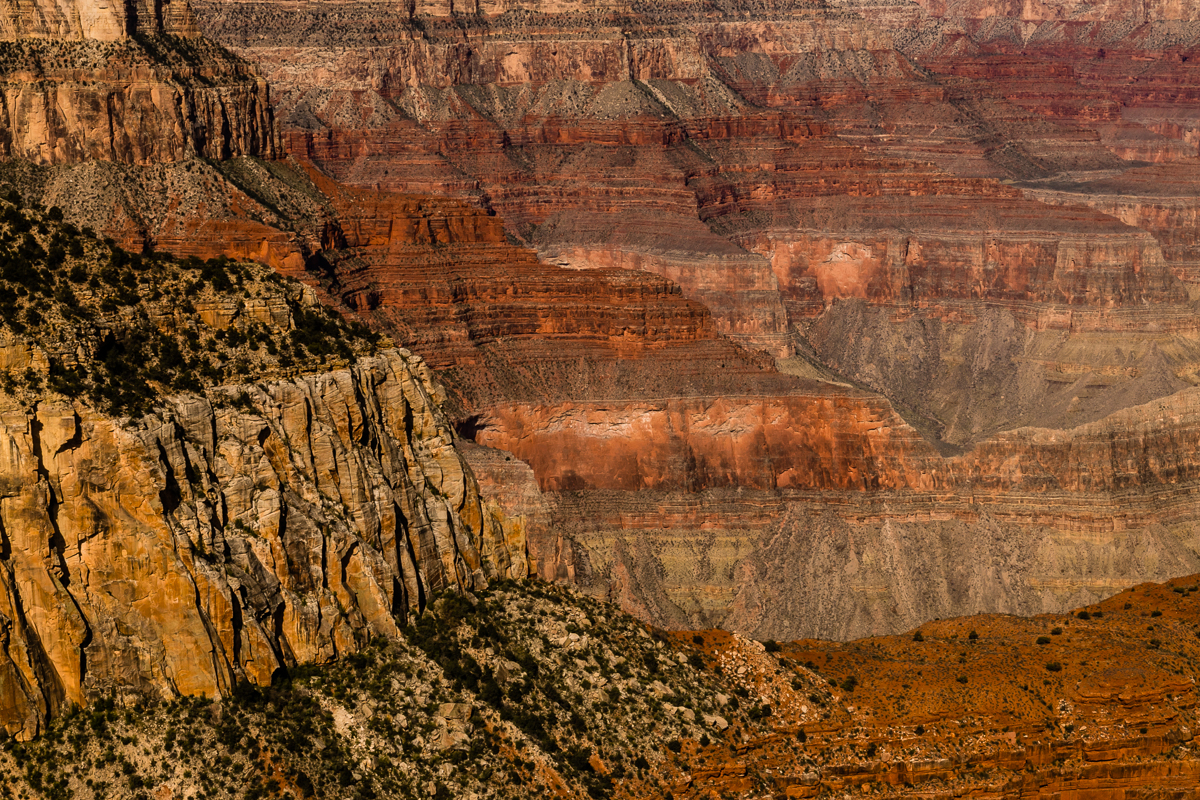
Arrived at Grand Canyon towards the evening, in the South Rim. It is touristy, so we picked a less-central trail (Kaibab Trail). The views are absolutely breathtaking; something that is very hard to tell via photos. The scale is hard to comprehend: heigt from the rim to the bottom is 1.6km!
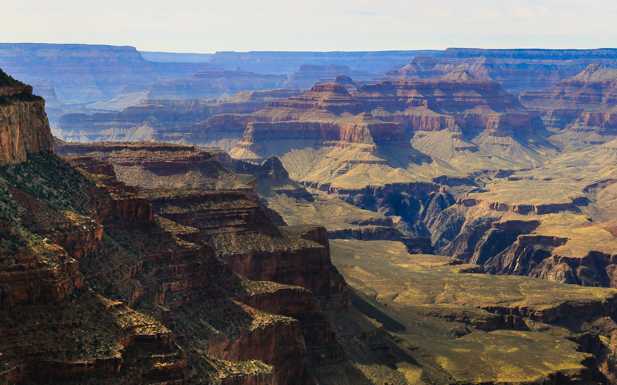
We walked a bit below the rim on Kaibab Trail. Would be cool to get to the bottom, but that is a full-day hike one way. Some next time.
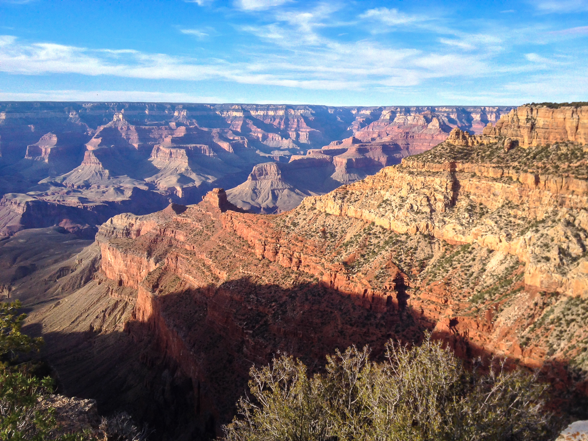
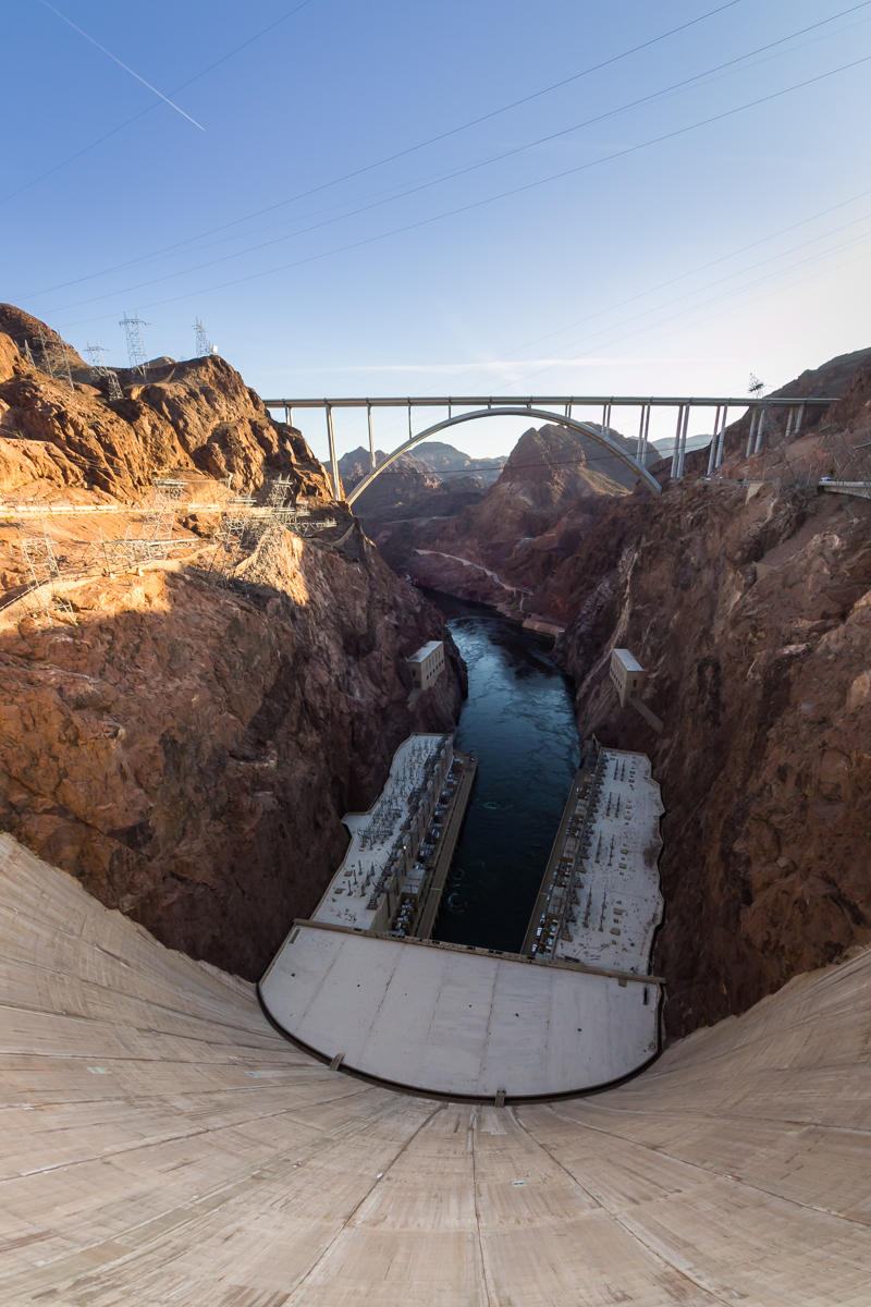
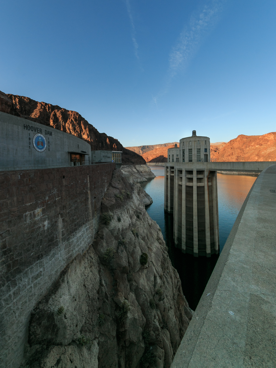
Day 3: Grand Canyon, and back to Vegas through Hoover Dam
It’s next to impossible to find lodging at the Grand Canyon Village itself (unless you book half a year in advance?), so we slept in Tusayan 10km south. Next morning, went to canyon rim again.
Visited Hoover Dam on the way back to Vegas:
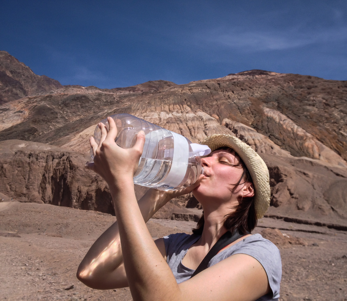
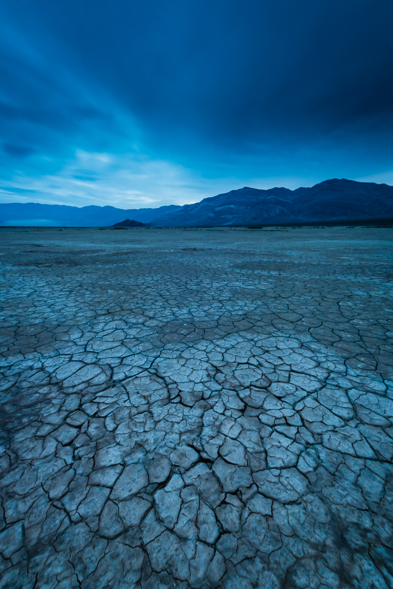
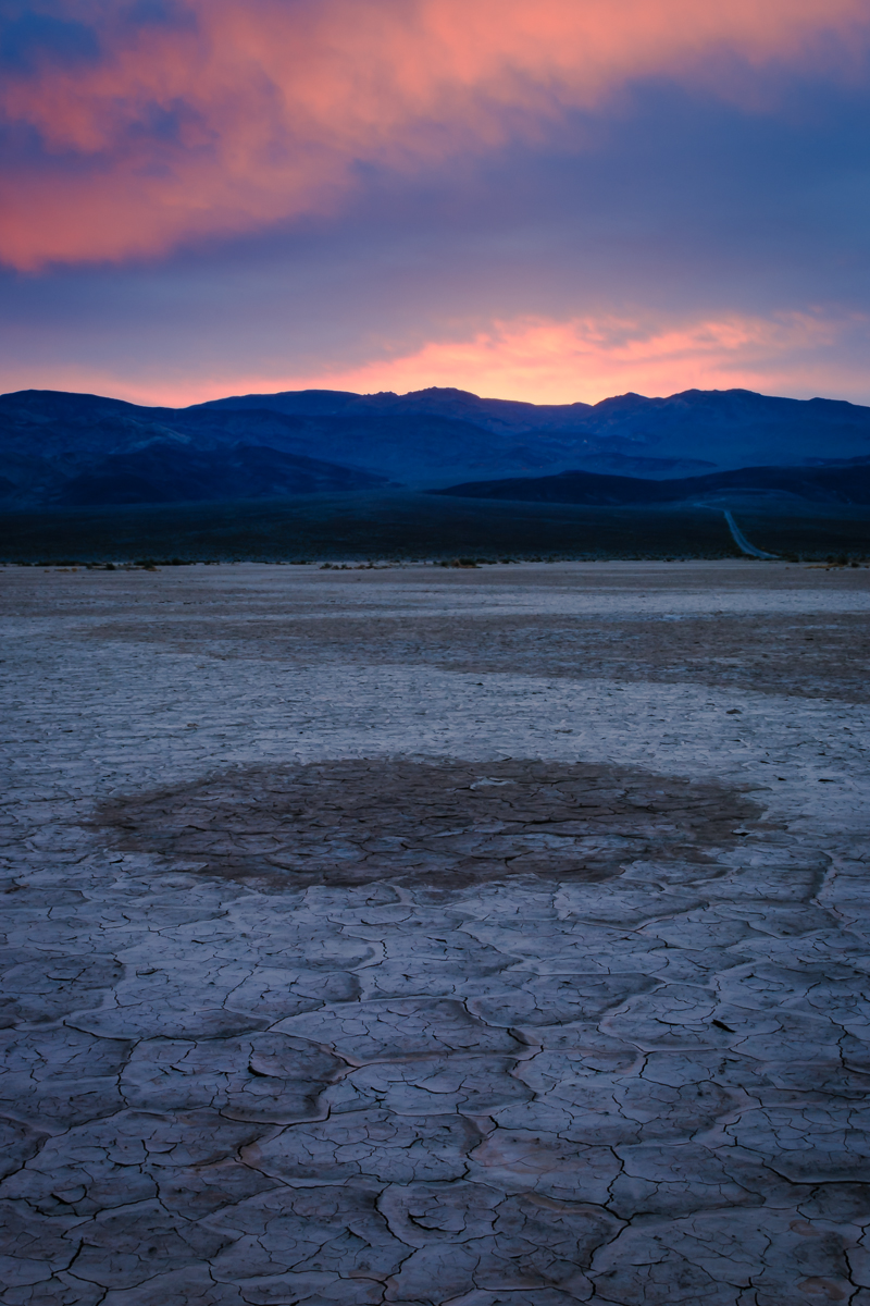
Day 4: Death Valley
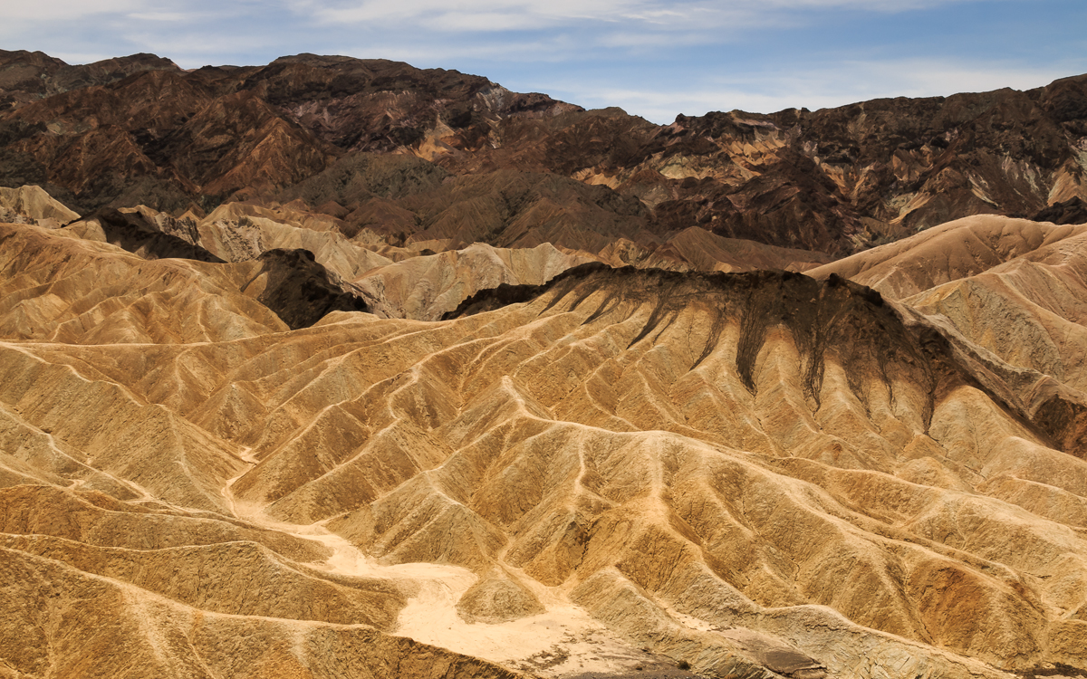
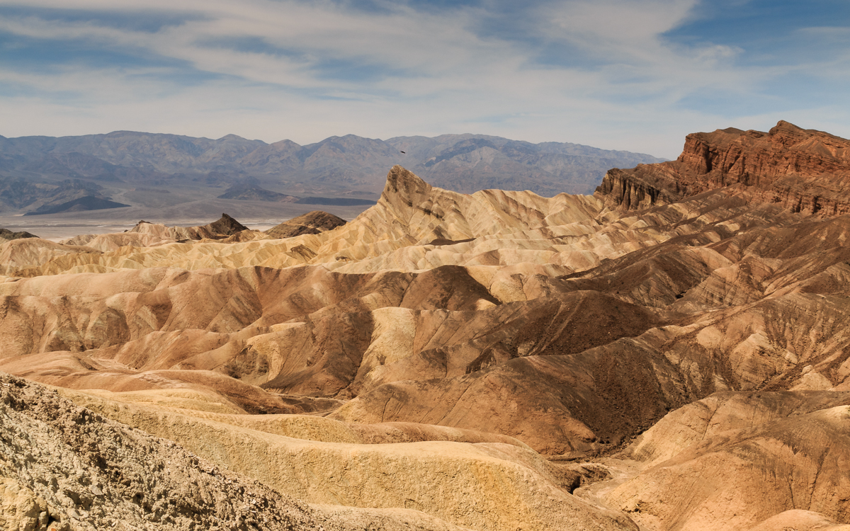
Death Valley, lowest and driest place in North America, and hottest place on Earth. This was April, so the temperature was a mild 40°C in the shade :) Death Valley is amazing due to lots and lots of very different geological things close to each other.
Here, Zabriskie Point, a fantastic erosional landscape. If you’re into obscure movies, you might know a film of the same name.
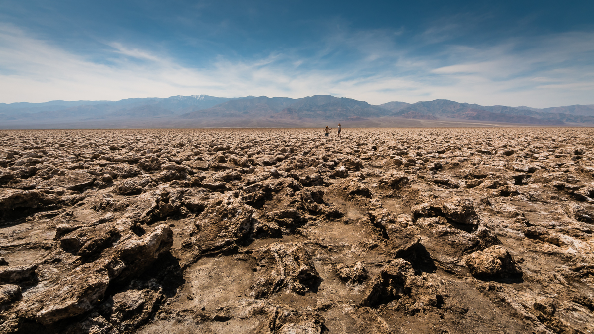
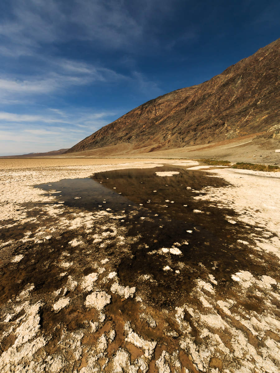
Next up, Devil’s Golf Course, a salt pan. Apparently almost a century ago one guide book had “Only the devil could play golf here” description, and it stuck. Salt crystals are really sharp on these rocks; there are signs advising “do not trip over or you’ll cut yourself”.
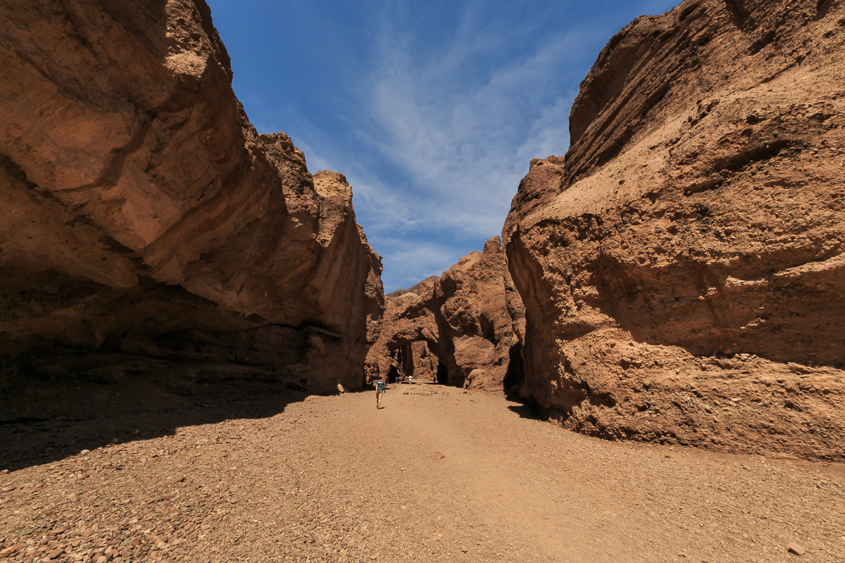
Natural Bridge in the mountains right next to it. It was also getting very, very hot.
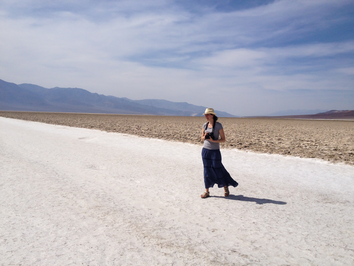
Badwater Basin, lowest point in North America. Aistė (my wife) walking on pure salt.
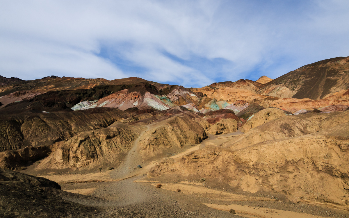
Artist’s Palette, with rocks of any color you like.
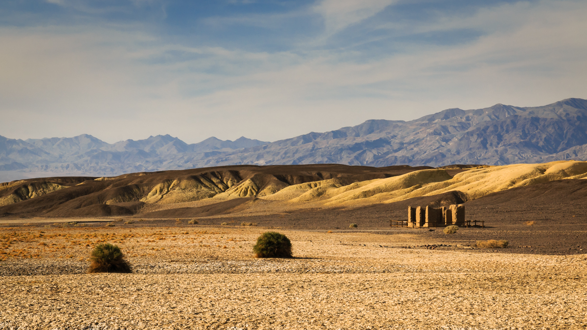
Remains of a borax mine, Harmony Borax Works:
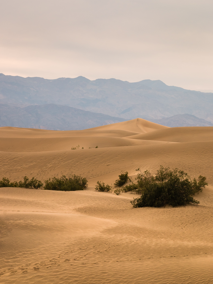
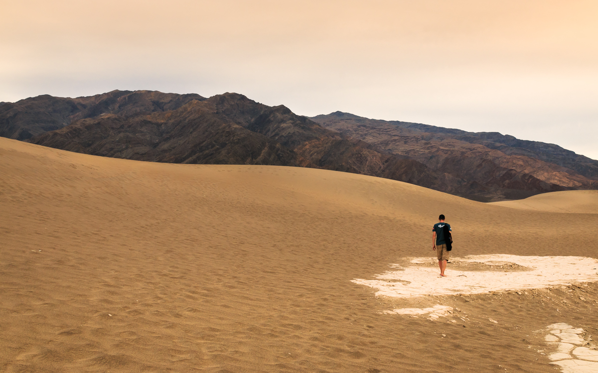
Mesquite Flat Sand Dunes. They say some scenes from Star Wars were shot here!
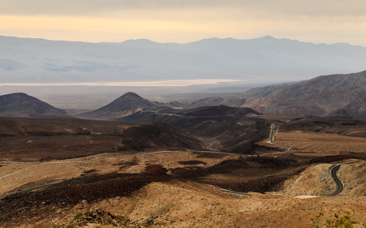
Day 5: Death Valley to Pacific
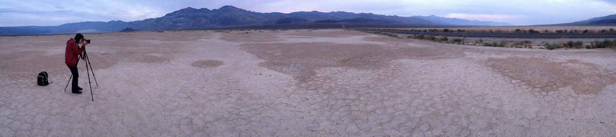
We stayed at Panamint Springs Resort in the Panamint Valley. Tried to catch a sunrise next morning, but it was all cloudy :( Ground here is covered with salt as well:
Leaving Panamint Valley, and through much more green California:
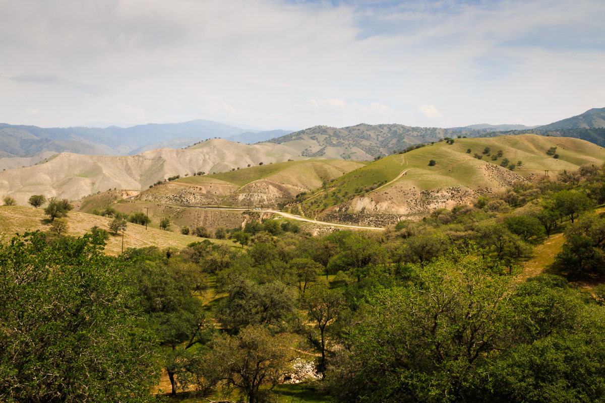
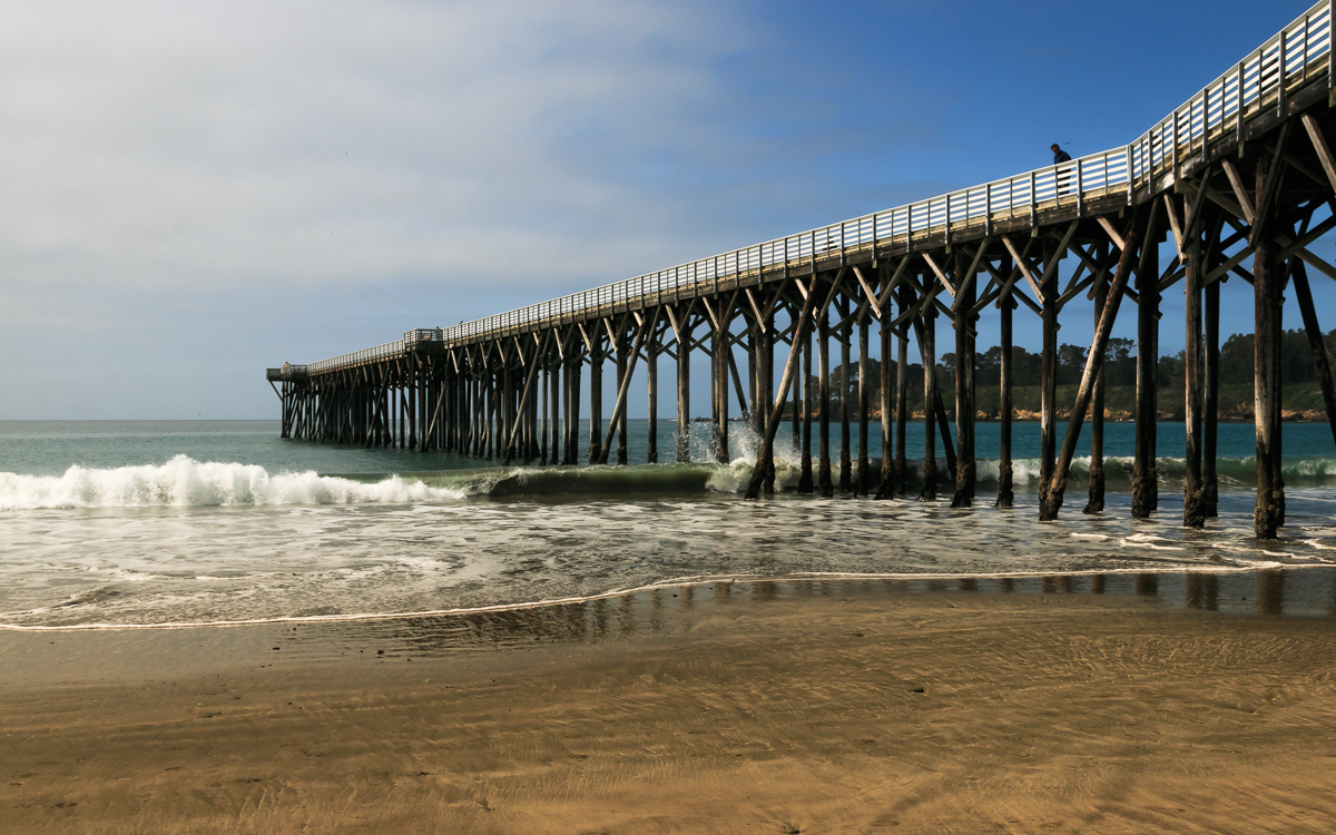
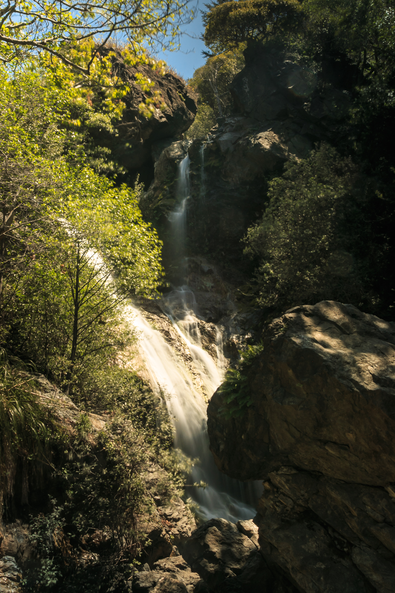
Day 6: San Luis Obispo to Big Sur
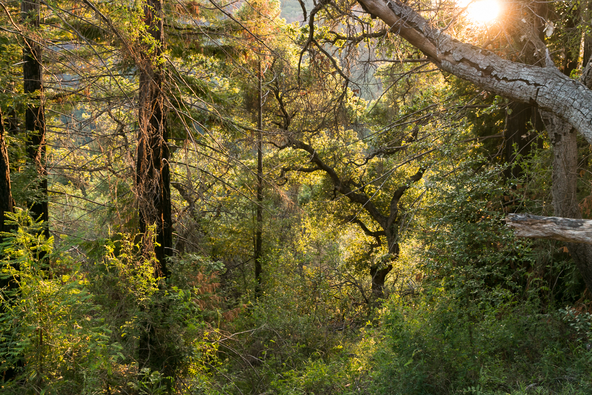
Spent a night in San Luis Obispo (lovely little town!), and took the Route 1 up north towards Big Sur.
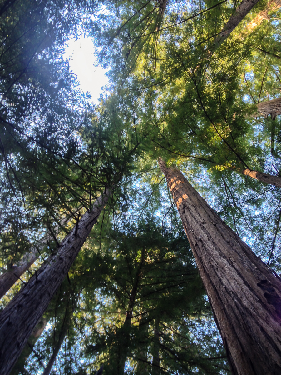
Turns out, the coast redwoods are quite tall!
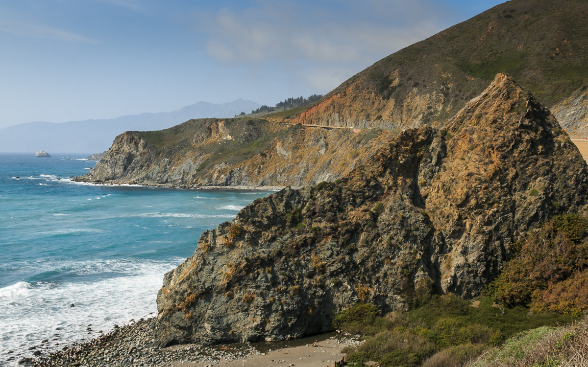
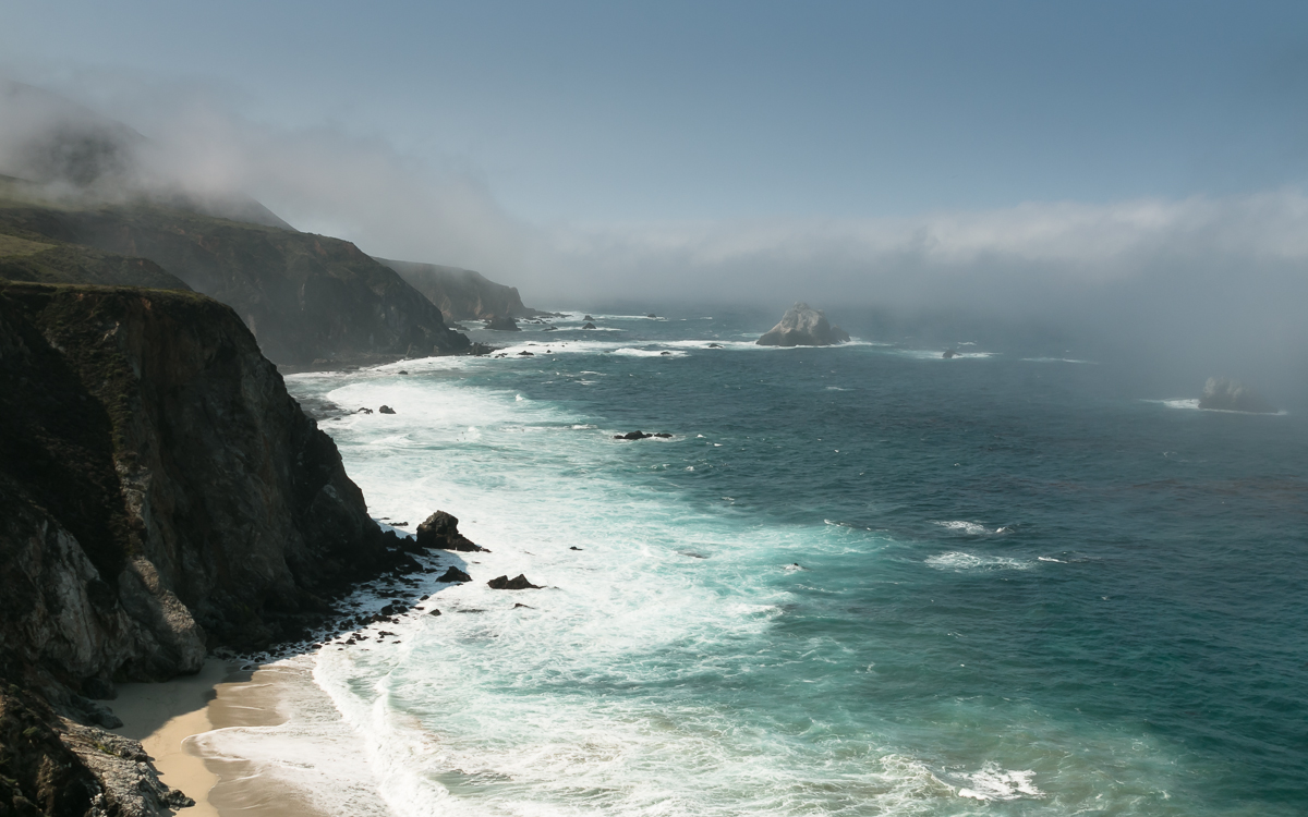
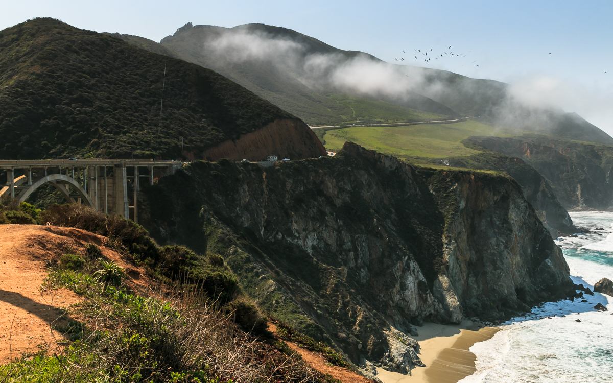
Day 7: Big Sur to Santa Cruz
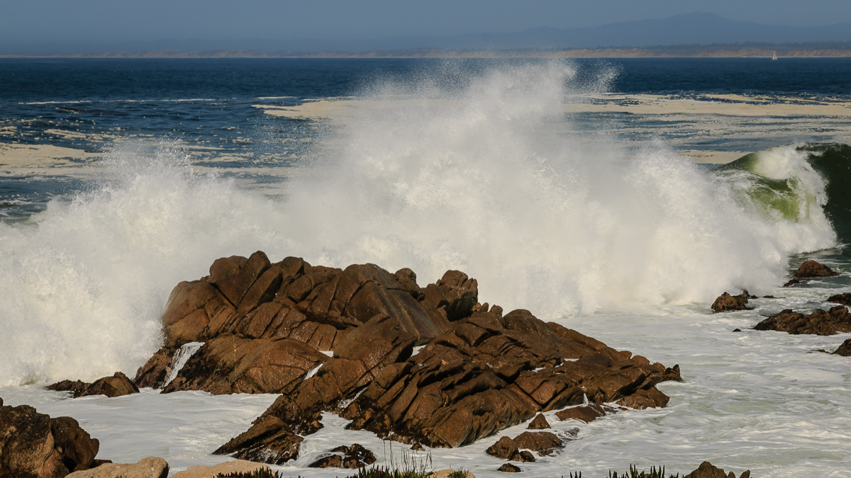
Impressive scenery of ocean and clouds and rocks; and Bixby Creek Bridge.
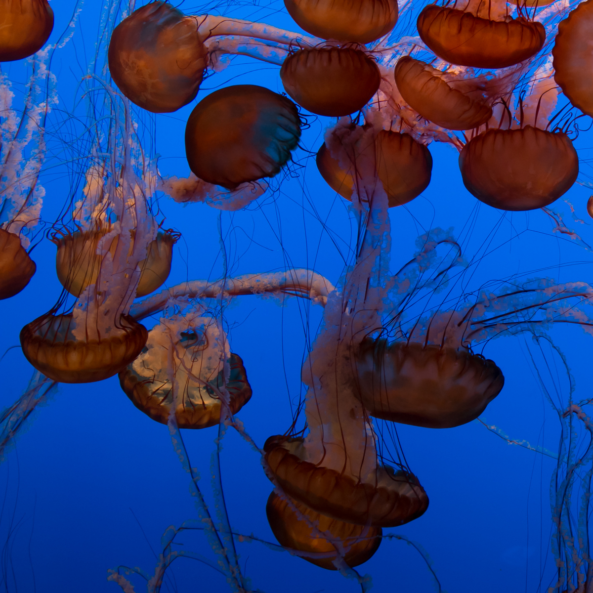
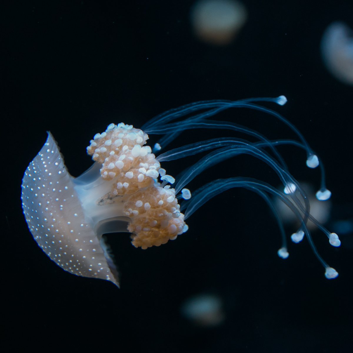
Jellyfish at Monterey Aquarium:
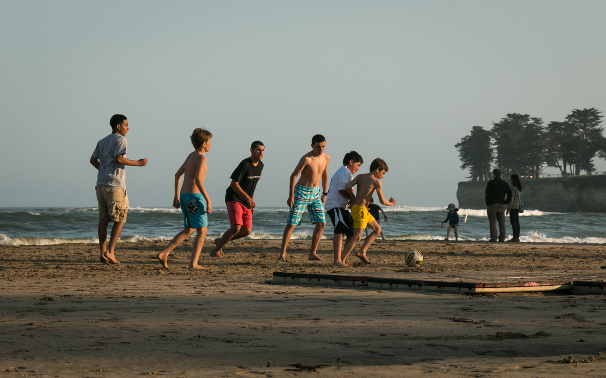
Big waves and Santa Cruz beach:
Days 8, 9, 10: To San Francisco and there
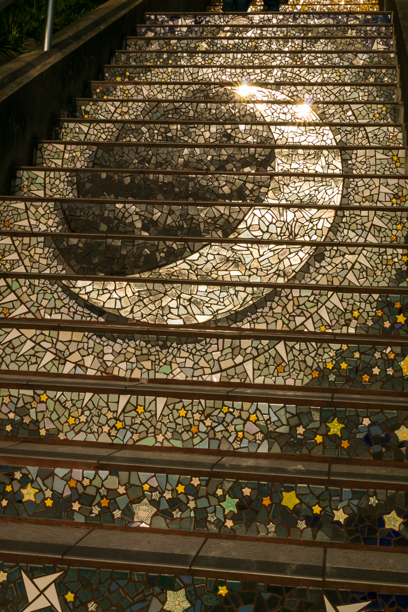
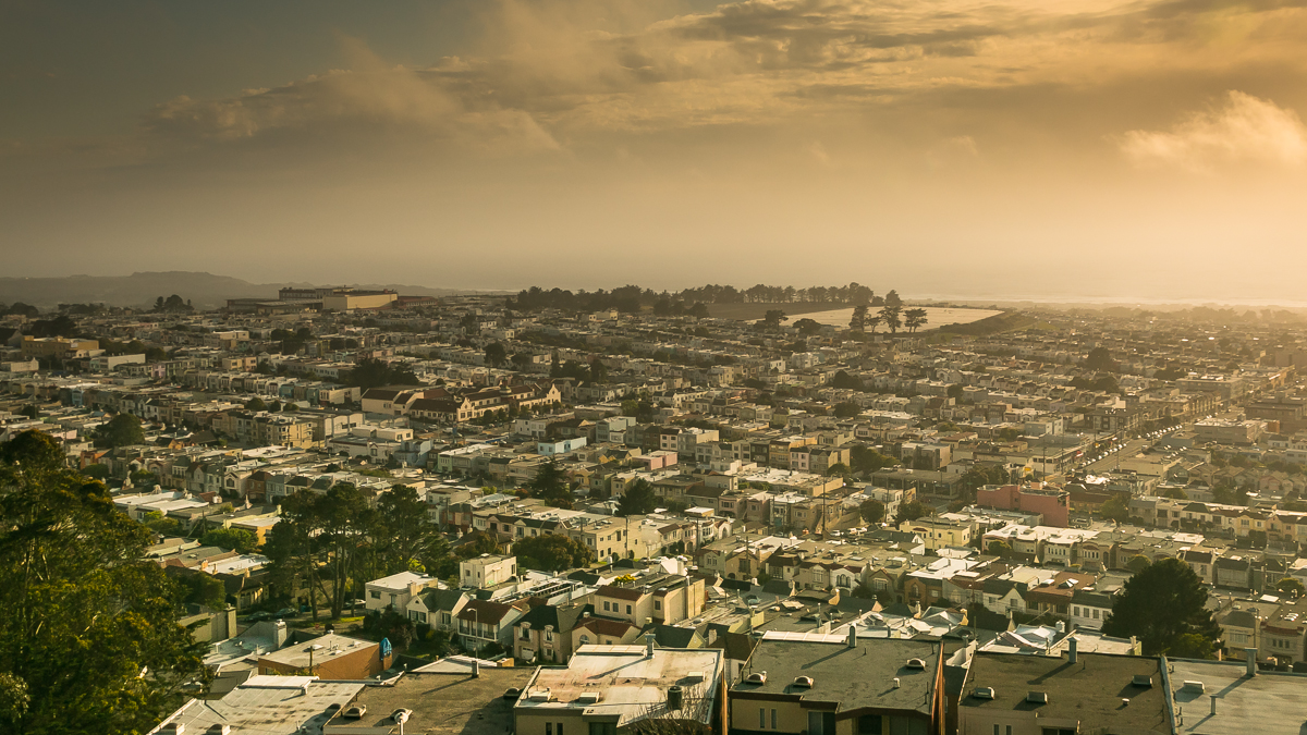
Rented an apartment in the western side (Sunset District), so that it would be possible to find some parking space :) Moraga Steps and view towards sunset.
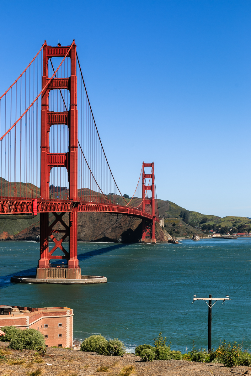
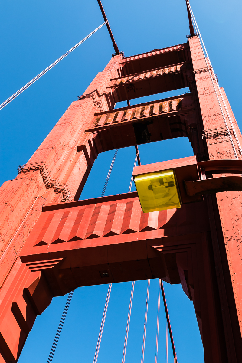
Obligatory Golden Gate Bridge.
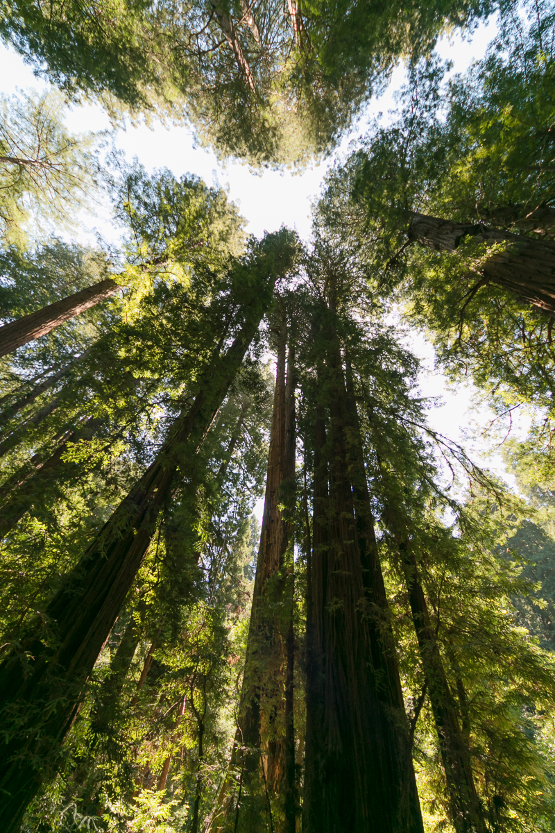
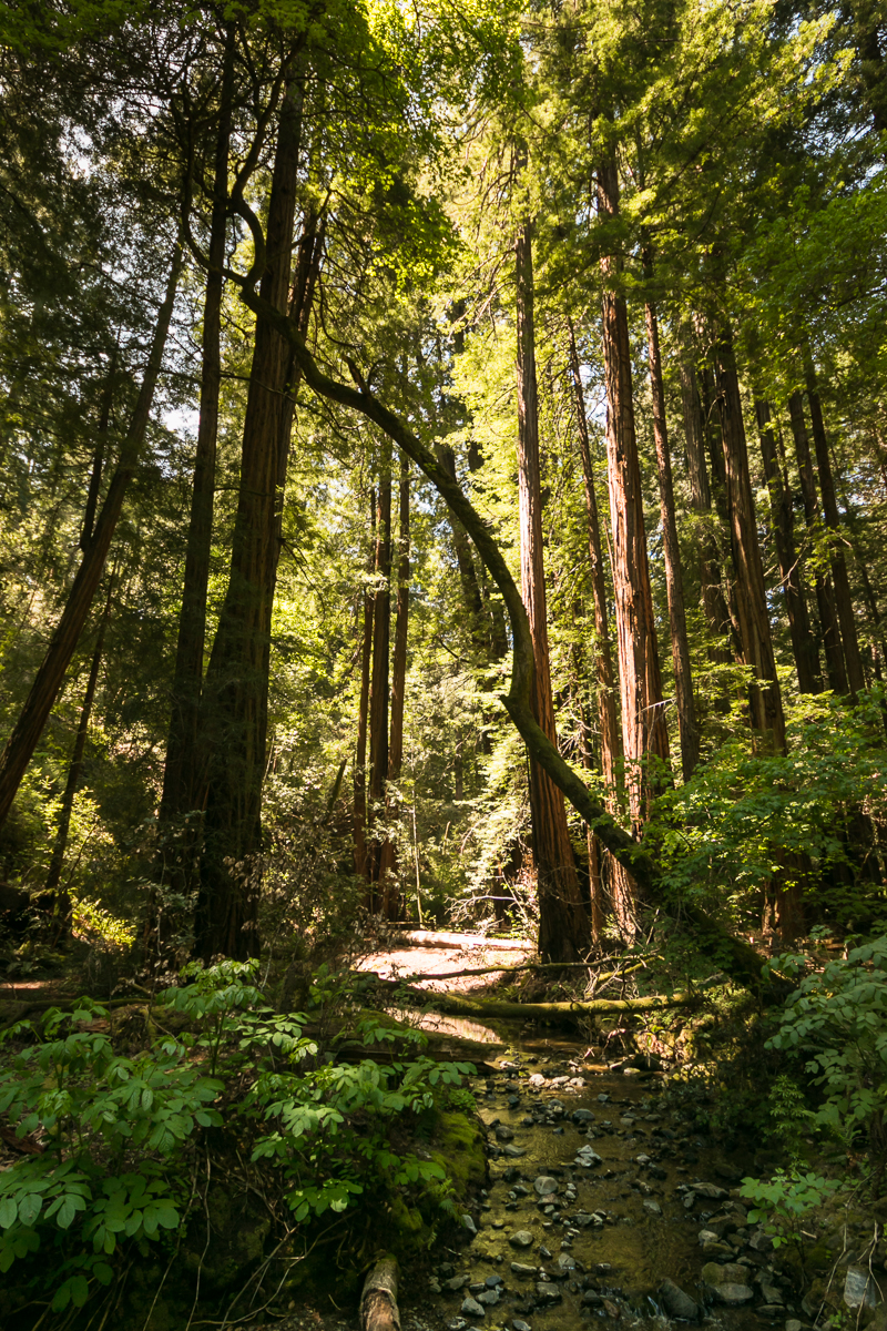
Muir Woods just north of SF. This is again a redwood park, but much more crowded than Big Sur.
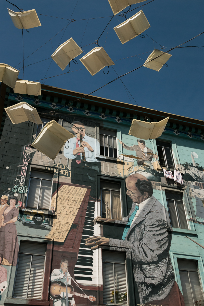
Random places in SF: wall art at Broadway/Columbus, and a block of Lombard Street, “the crookedest street in the world”.

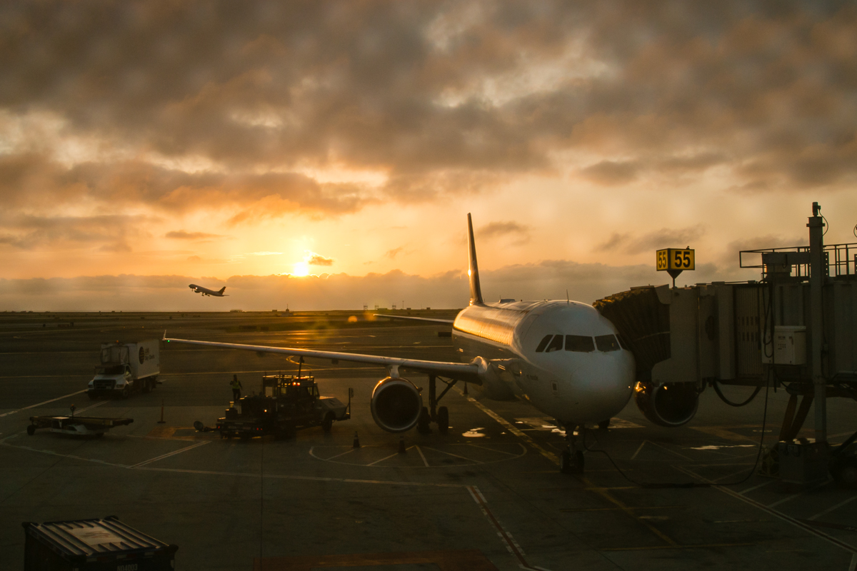
Day 11: back home
A long flight back home. 5AM in the airport :)